- ⬅ Back to Southern Interior Cams
 Southern Interior - Hwy 3
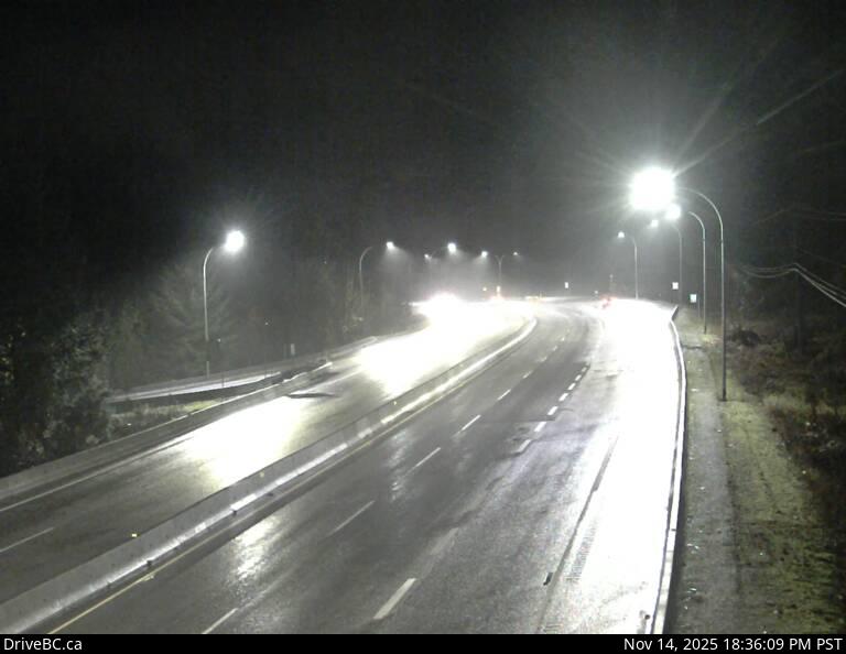
Hwy 3 at Hwy3/5 Jct
Highway 3 at 3/5 junction looking east.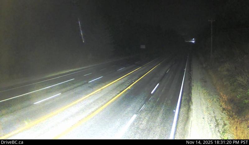
Hope Slide
Hwy 3 at the Hope Slide pullout, looking east.
Allison Pass - W
Hwy 3 at Allison Pass, 10 km west of Manning Park resort area, looking west.
Allison Pass - E
Hwy 3 at Allison Pass, 10 km west of Manning Park resort area, looking east.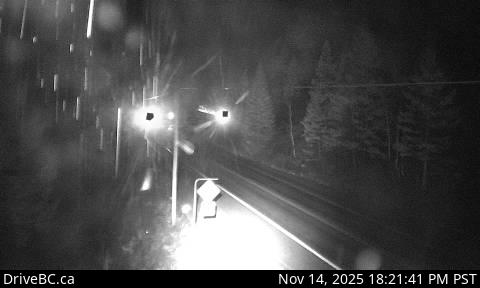
Similkameen Falls - W
Hwy 3 near Similkameen Falls, about 6 kms east of Eastgate, looking west.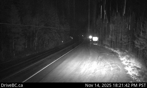
Similkameen Falls - E
Hwy 3 near Similkameen Falls, about 6 kms east of Eastgate, looking east.
Sunday Summit
Hwy 3, approximately 32 km south of Princeton, looking north.
Princeton
Hwy 3 at Frontage Rd on the west side of Princeton, looking south.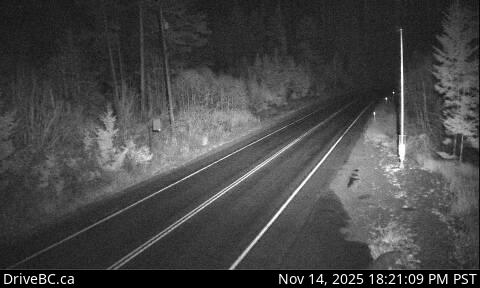
Bromley Rock - W
Hwy 3, about 1.4 km east of Bromley Rock Provincial Park, looking west.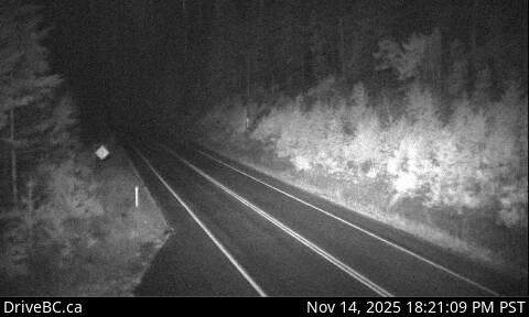
Bromley Rock - E
Hwy 3, about 1.4 km east of Bromley Rock Provincial Park, looking east.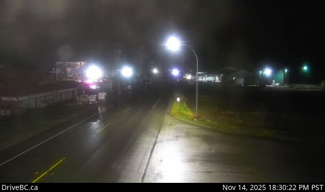
Keremeos - W
Hwy 3 at Keremeos Bypass Rd, looking west.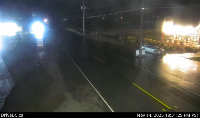
Keremeos - E
Hwy 3 at Keremeos Bypass Rd, looking east.
Mt Kobau - W
Hwy 3, next to Conifryd Lake, looking west.
Mt Kobau - E
Hwy 3 next to Conifryd Lake, looking east.
Anarchist
Hwy 3, 9 km west of the Anarchist Summit, east of Osoyoos, looking east.
Rock Creek
Hwy 3 at Hwy 33 junction in Rock Creek, looking north-west.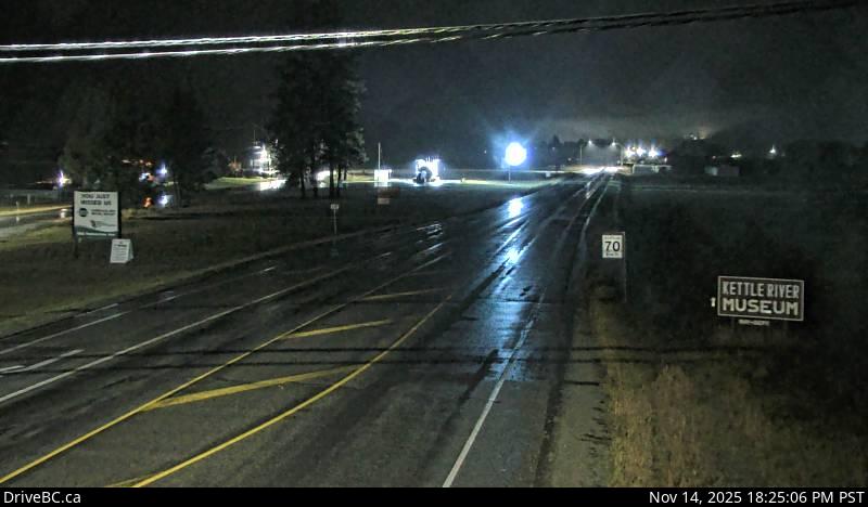
Midway - W
Hwy 3 in Midway, at Florence St, looking west.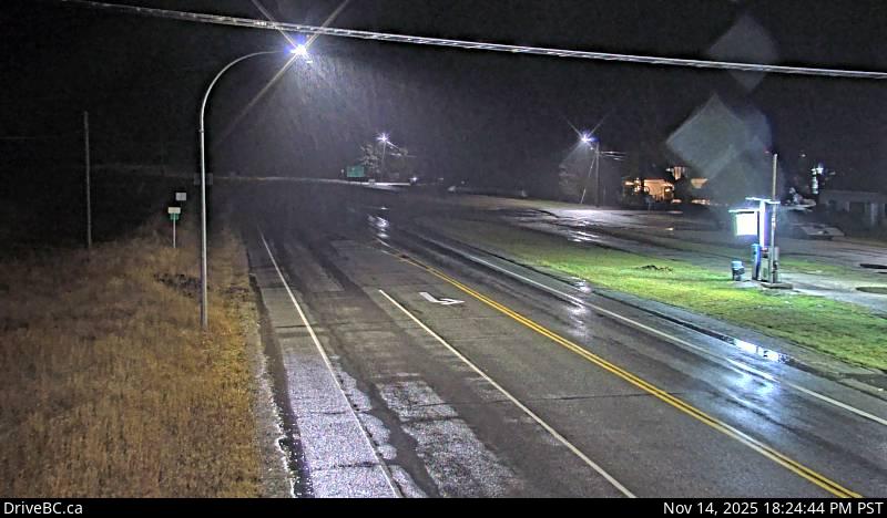
Midway - E
Hwy 3 in Midway, at Florence St, looking east.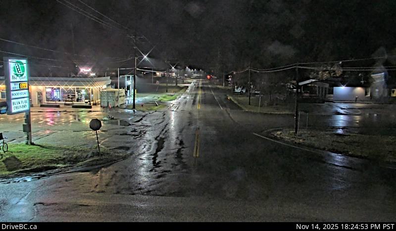
Midway - S
Hwy 3 in Midway, at Florence St, looking south.
Eholt Summit
Hwy 3 at Wilgress Rest Area near Eholt Summit, about 16km northeast of Greenwood, looking westbound.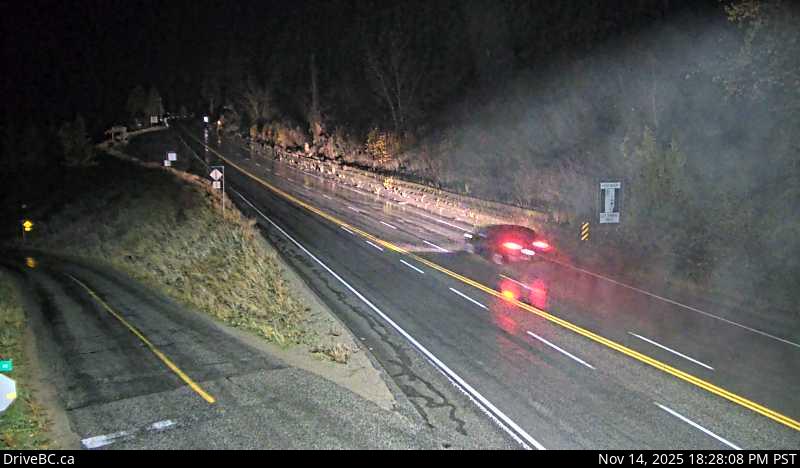
Christina Lake
Hwy 3 at East Lake Drive on east side of Christina Lake, looking northwest.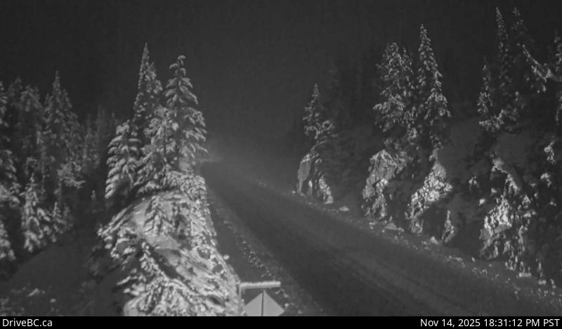
Paulson Summit
Hwy 3, about 3 km east of Paulson Summit, looking west.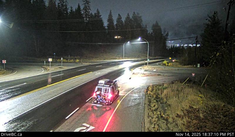
Castlegar
Hwy 3 at 14th Ave. in Castlegar, looking east.
Bombi Pass
Hwy 3, at the Bombi Summit, approximately 22 km south-east of Castlegar, looking west.
Meadows Jct
Hwy 3 at Hwy 3B junction looking westbound.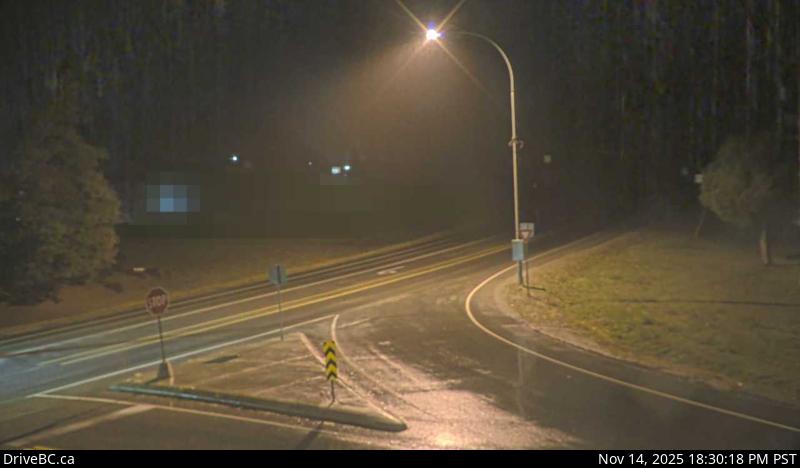
Salmo
Hwy 3 at Hwy 6, looking west on Hwy 3.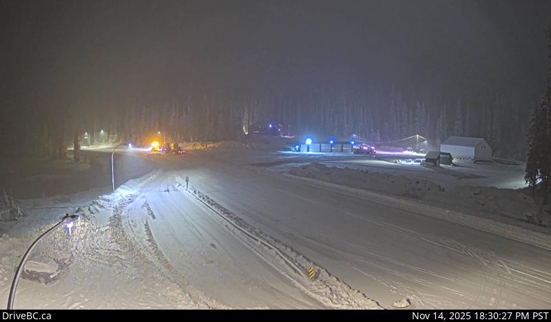
Kootenay Pass
Hwy 3, Salmo Creston Highway Summit, looking east.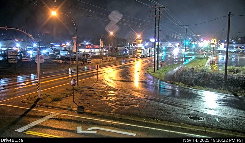
Creston
Hwy 3 and Hwy 3A junction at Creston, looking southeast.
Leadville Rd
Hwy 3, in Kitchener about 18 km east of Creston, looking east.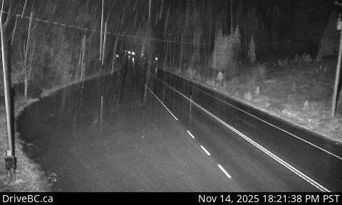
Goatfell - W
Hwy 3, near Goatfell, about 9 km northwest of Yahk, looking west.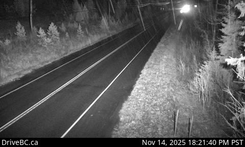
Goatfell - E
Hwy 3, near Goatfell, about 9 km northwest of Yahk, looking east.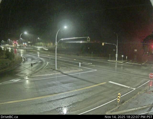
Yahk
Hwy 3 at Hwy 95, Yahk Weigh Scale, looking north-east.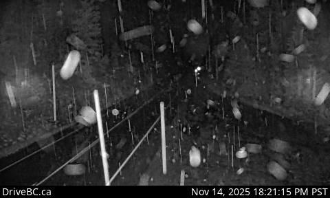
Irishman - N
Hwy 3, about 21 km southwest of Moyie, looking north.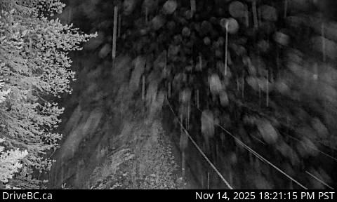
Irishman - S
Hwy 3, about 21 km southwest of Moyie, looking south.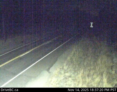
Moyie Lake
Hwy 3, near the south end of Moyie Lake, looking north.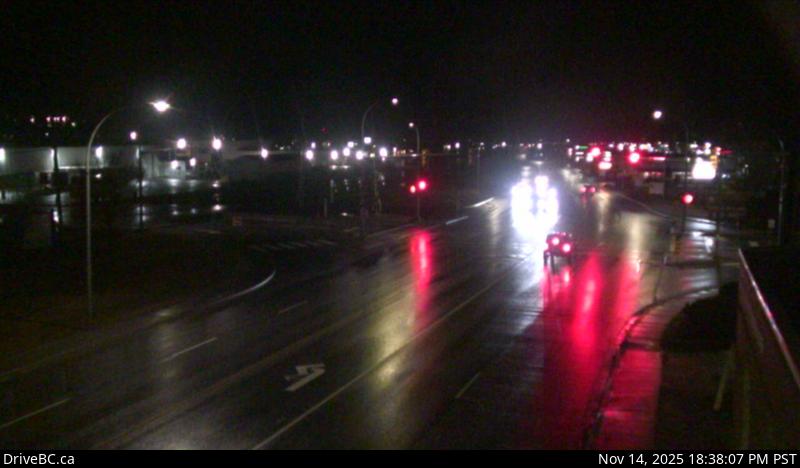
Cranbrook
Hwy 3/95 at 9th Ave. in Cranbrook, looking northeast.
Steamboat- NW
Hwy 3/93 near Ha Ha Creek Road, looking northwest.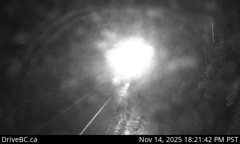
Steamboat - SE
Hwy 3/93 near Ha Ha Creek Road, looking southeast.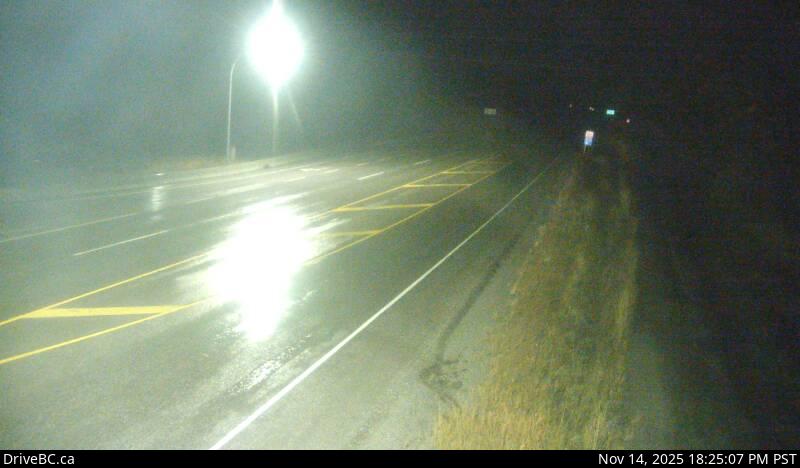
Elko - W
Hwy 3, about 1 km west of Elko at Hwy 93 junction, looking west.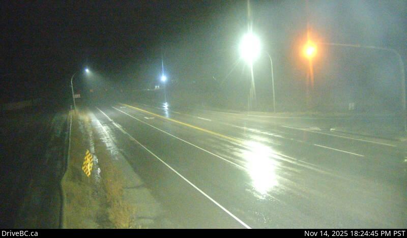
Elko - E
Hwy 3, about 1 km west of Elko at Hwy 93 junction, looking east.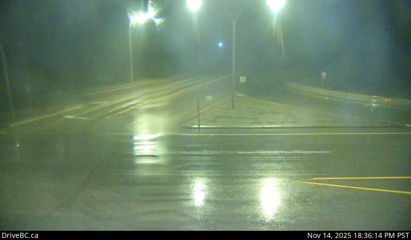
Elko - S
Hwy 3, about 1 km west of Elko at Hwy 93 junction, looking south.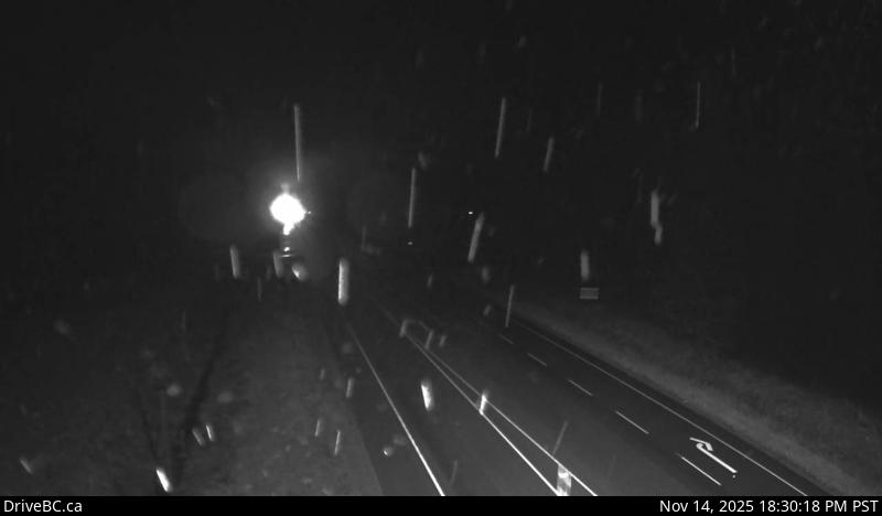
Morrissey
Hwy 3, about 10km south of Fernie at Morrissey Jct, looking north.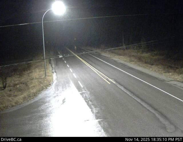
Hosmer
Hwy 3, in Hosmer, about 12km north of Fernie, looking north.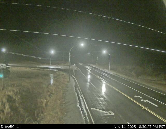
Sparwood
Hwy 3 at Sparwood weigh scale, about 2 km west of the Alberta border, looking south-east.